
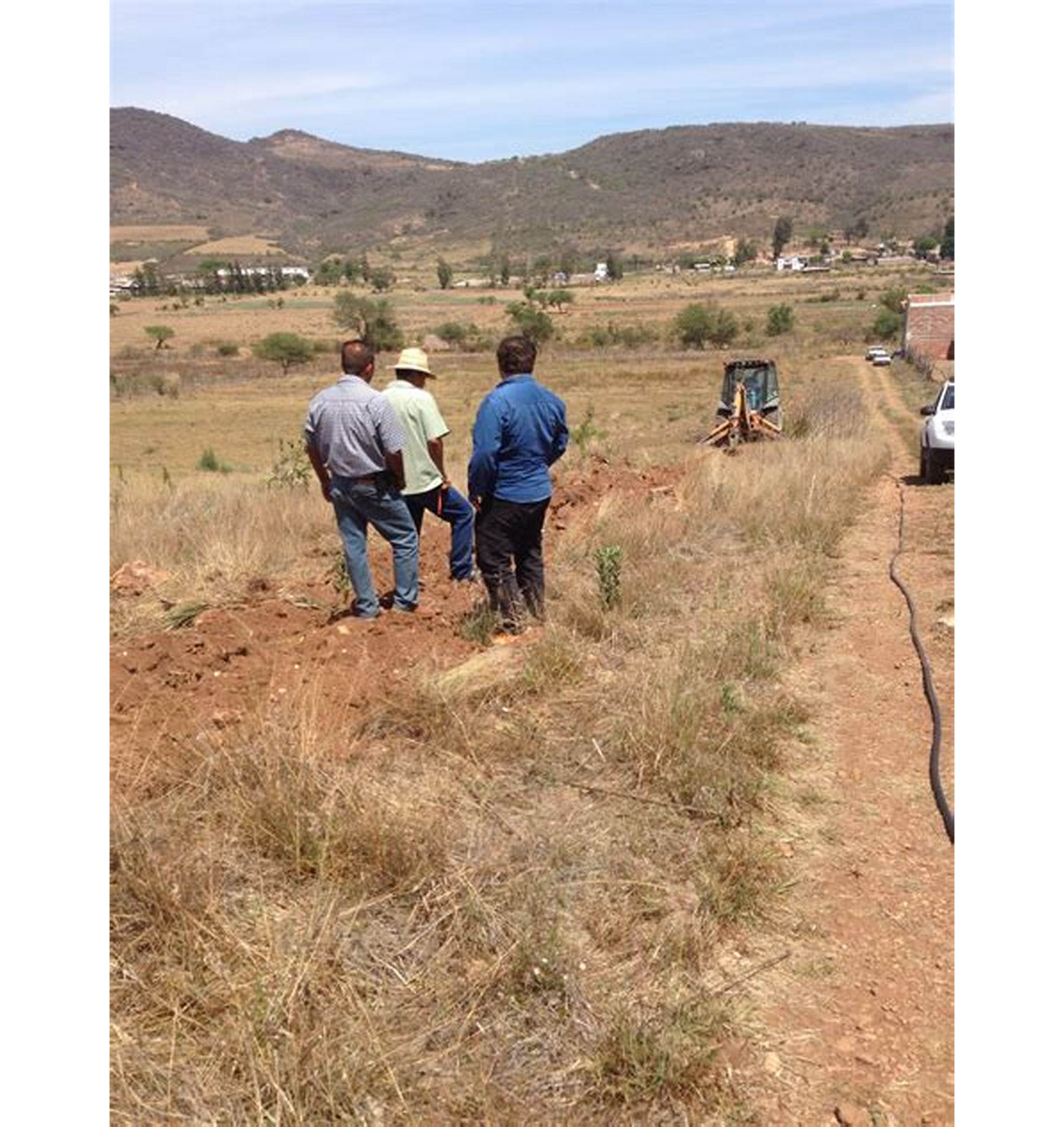
Underground Survey
We wanted to know changes in underground water levels to forecast capacities expected in the next five years. We got a customised software that caters for it very well.
From topographical surveys, we do site engineering, subdivision, underground utility, volumetric surveys and watercourse surveys.
From drone surveys, our geospatial mapping systems allow CAD & BIM surveys and demographic forecasting.
Learn More →

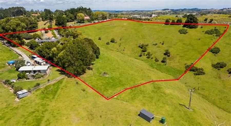
From housing estates to municipal allotments.
From concrete investigation to void detection.
Volumetric calculations and structural monitoring.
Analyse demographic data and forecast results.
drone
Public
We wanted to know changes in underground water levels to forecast capacities expected in the next five years. We got a customised software that caters for it very well.
We wanted to know the accessibility of parts of our terrain and various wildlife populations within, to help plan tourism visits and veterinary care.